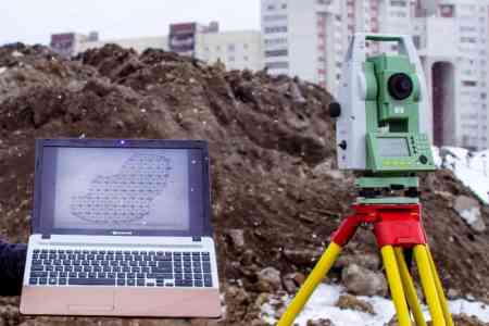
ArmInfo. A qualification commission for geodetic and mine surveying, as well as cartographic, land management, metrological and accounting activities will be created in Armenia. The decision to create it was approved at a meeting of the RA government on January 30.
The draft resolution of the Cabinet of Ministers establishes the procedure for submitting and selecting candidates for the commission. Currently, the Cadastre Committee is an authorized state administration body in the field of geodesy and cartography and carries out qualifications in the field of geodesy and mine surveying, as well as cartographic, land management, metrological activities. The Committee organizes and conducts certification by holding qualification exams, the reception of which will be carried out by the qualification commission created by the Committee in the manner established by the government. The Qualification Commission determines the place, date and time of the professional qualification of candidates, summarizes the results of the professional qualification, and also checks and monitors the activities of already certified persons, including providing the head of the Commission with a conclusion on the suspension or termination of the qualification certificate.
The draft clearly defines the procedure for the formation of the qualification commission, its quantitative composition, mandatory requirements for candidates, including a list of necessary documents, the procedure, terms and methods for submitting an application. In addition, the draft establishes the procedure and conditions for the selection of candidates who meet the mandatory requirements for membership in the qualification commission.












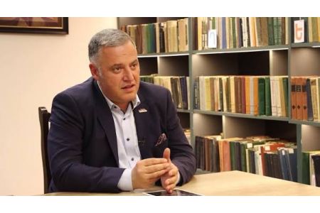 RA Government guarantees high salaries for CC justices, Syunik families deprived of family benefits - politician
 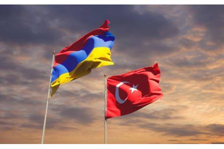 Armenian experts, leading Turkish think tanks discuss prospects for expanding cooperation
 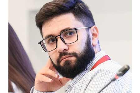 Political Scientist: As long as the opposition remains silent, Pashinyan can use Plan B and secure a constitutional majority
 Zakharova: Armenia`s pro-EU pivot poses economic security risks to EAEU member states
 It`s time for South Caucasus countries to think of South Caucasus as single, unified region - RA premier
  Pashinyan: Armenia and Azerbaijan should leave each other alone
 Moscow sees situation with Armenia as attempt to attack Russia-involving integration associations - Russian presidential aid
 Zakharova: Armenia views relations with Russia as tool for financially securing reorientation toward EU
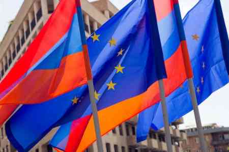 The Armenian Minister of Justice and the EU Ambassador discussed visa liberalization issues for Yerevan.
 Azerbaijan`s aggressive plans against Armenia became possible in wake of Pashinyan`s decisions on Artsakh - expert
  Zakharova: Russia sent a note of protest to Armenia over the act of vandalism at the "Mother Armenia" memorial in Gyumri
 Samvel Karapetyan proposes creating a post-election opposition coalition
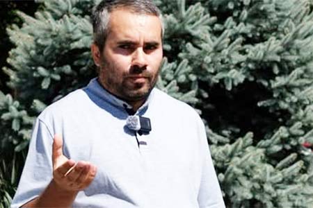 Artsakh`s Cultural Heritage Ombudsman called on Moscow to respond to destruction of WWII monuments by Azerbaijan in occupied NKR
 Dutch Prime Minister expresses his support for Armenia`s democratic reform and economic diversification agenda
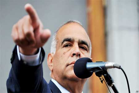 Heritage: It`s time for Armenia`s opposition to present people with legitimate alternative to power
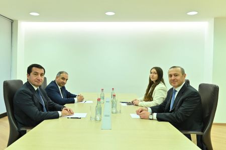 RA Security Council Sec, Assistant to President of Azerbaijan hold negotiations in Dilijan